Highway Traffic Alerts in India: When Map Apps and Official Advisories Disagree
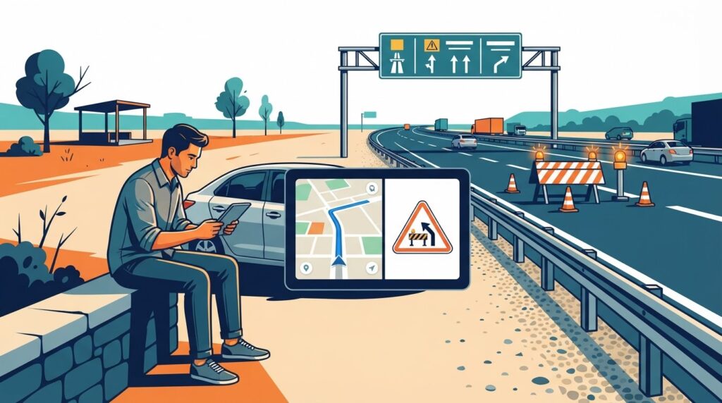
Evergreen guide — not a live traffic alert. A navigation app may show a highway as passable while traffic police have issued a temporary restriction. The reverse can also happen when a restriction has expired but map traffic remains slow. Here is a practical method for reconciling the two before a road journey.
Summary
- Use official, dated advisories to check restrictions and legal access.
- Use navigation apps for estimated journey time, not as proof that a closure is lifted.
- Match the road, direction, kilometre location and effective period before changing your route.
- Recheck before departure and at safe stops; never read alerts while driving.
Why two traffic sources can disagree
Navigation services infer conditions from device movement, reports and mapped roads. Official advisories communicate decisions such as police diversions, controlled access, heavy-vehicle restrictions or closures. A map can show traffic flowing near a closure without establishing that your vehicle may legally use the affected section. Equally, an advisory can apply only to one direction or vehicle class while a map shows the entire route.
Check the five details that determine whether an alert applies
- Authority and source: identify the issuing traffic police, district administration, highway authority or road operator; prefer an original notice over a forwarded screenshot.
- Publication and effective time: distinguish when the notice was posted from when restrictions start and end. An undated social-media repost is not a current update.
- Road and location: match NH number, interchange, nearby settlement, chainage or kilometre marker. An NH number alone may cover a long corridor.
- Direction and vehicle class: verify whether the notice affects one carriageway, both directions, trucks, buses or all traffic.
- Reopening evidence: seek a later official lifting notice. An apparently clear navigation map is not a reopening order.
A safe verification workflow before departure
- Check the relevant state or city traffic police channels and district administration notices for your corridor.
- For national highways, review the NHAI website and applicable road-operator information. For an incident or obstruction on a national highway, the 1033 highway helpline guide explains the assistance channel.
- Compare the official restriction with your map’s proposed route and identify the exact junctions where it diverges.
- Keep an alternative route only if it is lawful, suitable for your vehicle and supported by current road information. Avoid improvised U-turns or entering restricted ramps.
- Before leaving, share the route and expected arrival window with a contact. Recheck at a safe parking location if conditions change.
What if the notice and navigation app still conflict?
Follow on-site police instructions, traffic control devices and lawful road closures rather than a navigation instruction. Where a notice is ambiguous, contact the issuing authority for clarification; do not assume a road is open. The safest route may be slower than the fastest route predicted by a map.
Examples of easily misunderstood advisories
One-way carriageway closure: the opposite carriageway may remain open, but drivers must use the approved diversion rather than crossing the median. Night-only work: a daytime route preview does not prove the road will be accessible at midnight. Truck restriction: a private-car route may not be appropriate for a commercial vehicle. Temporary contraflow: lane direction can differ from the normal map layout; follow temporary signs and controllers.
For further reading, see how to read advisory chainage and validity, contraflow traffic safety, and how to check highway closures.
Frequently asked questions
Does a green traffic line mean a road is officially open?
No. A traffic layer is not a formal authorization to enter a closed or restricted road.
Can an old advisory still apply?
Yes, if its stated restriction remains in force. Check the effective period and any subsequent amendments or lifting notices.
Should I trust a social-media screenshot?
Use it as a lead, then locate the original notice on an official channel and verify its date, scope and current status.
Editorial note: This is a general travel-planning explainer. It does not report any specific closure, diversion or reopening on 13 November 2026.